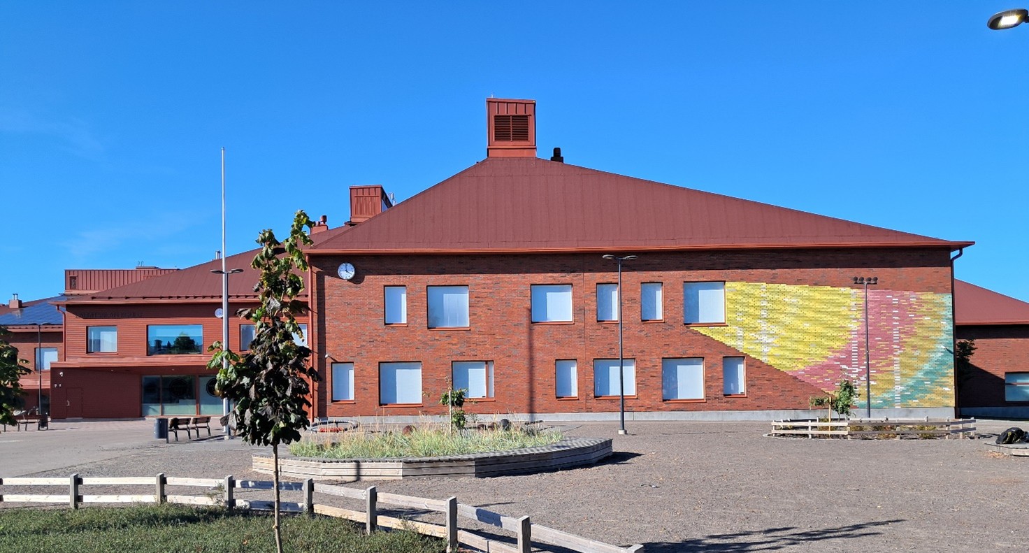
OUR PILOT SITES
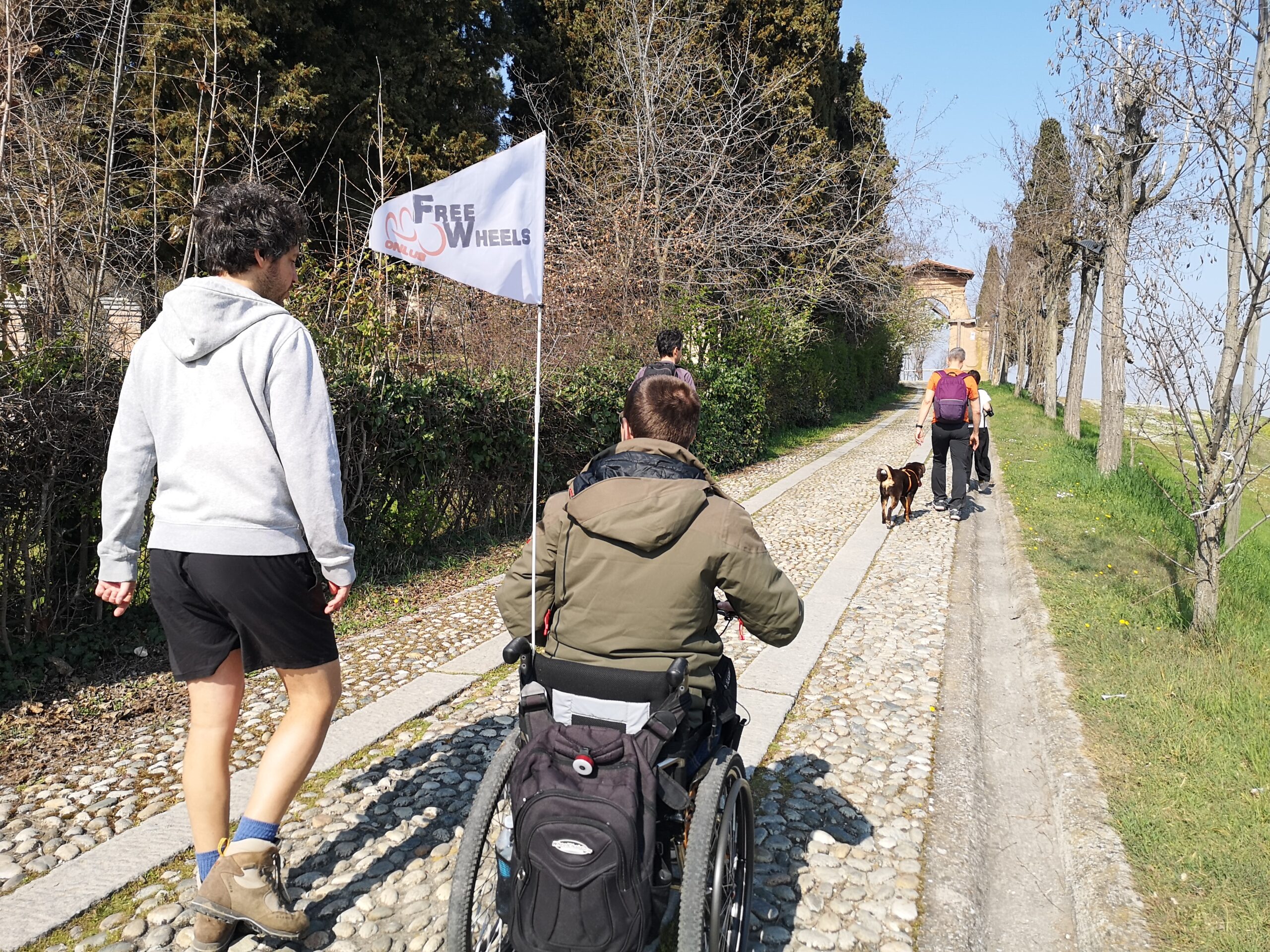
AMIGOS will test inclusive, safe, affordable, and sustainable mobility solutions in cities to evaluate their impact and replicability. It therefore relies on the participation of 5 cities as living labs (LLs), 10 urban areas as Safety Improvement Areas (SIAs) and 5 twin cities (TCs) for replicability.
Living Labs
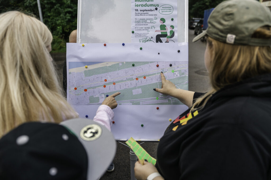
Living labs are entire cities with different particularities and mobility challenges, that will implement the solutions defined with the stakeholders to increase the inclusivity, safety, affordability, and sustainability of their urban mobility.


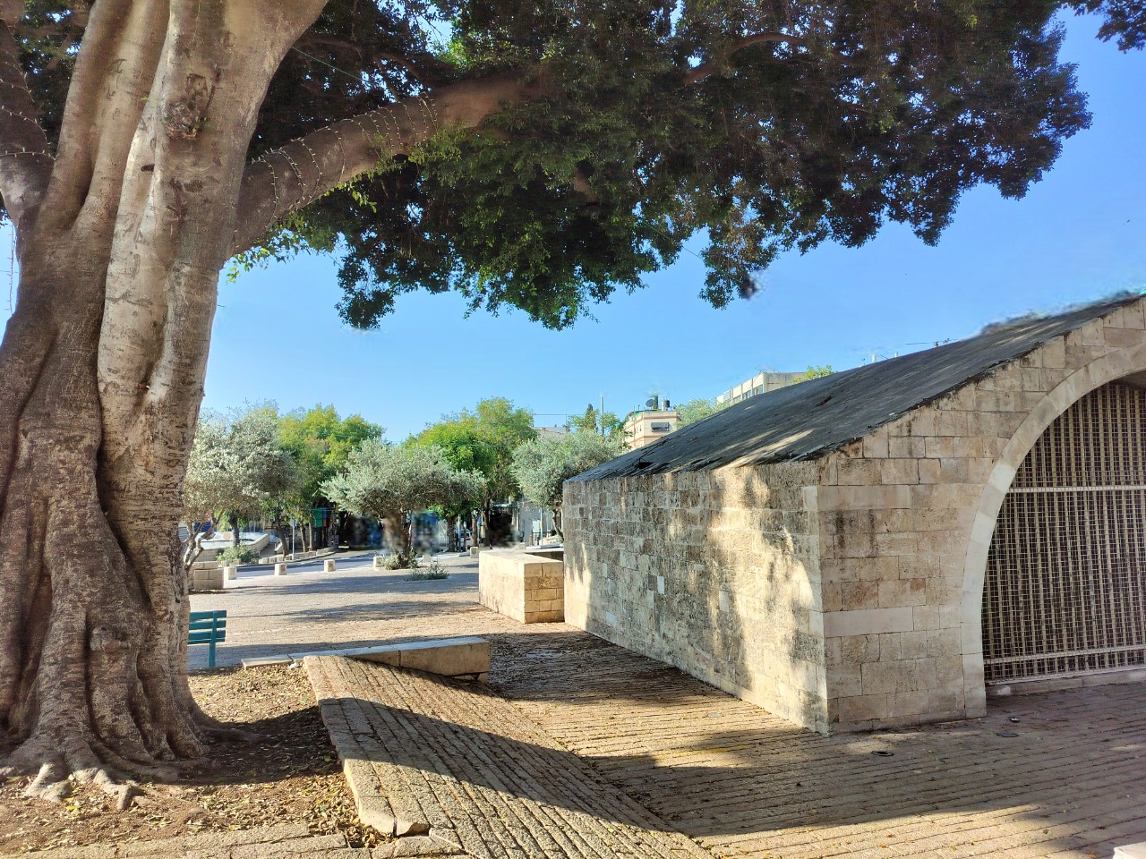
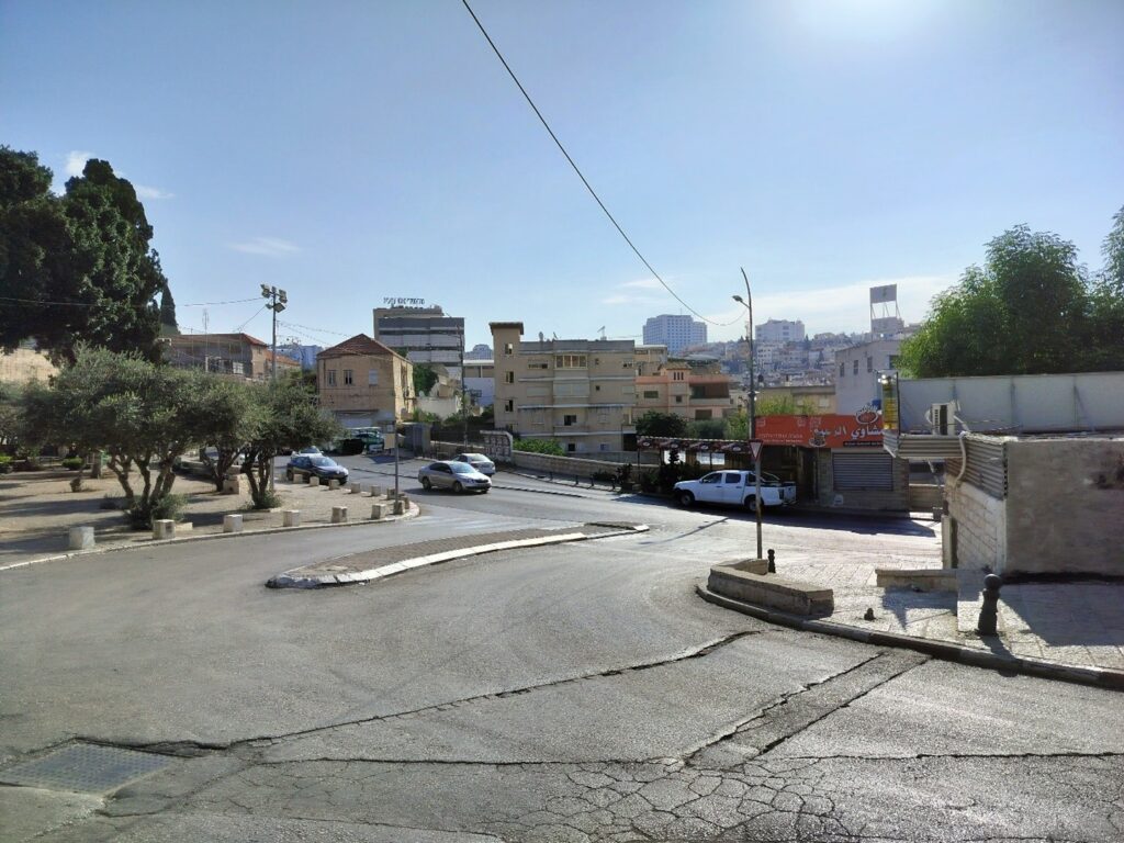
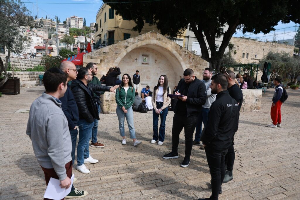
Safety Improvement Areas
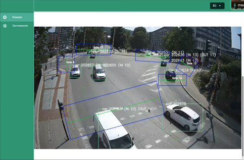
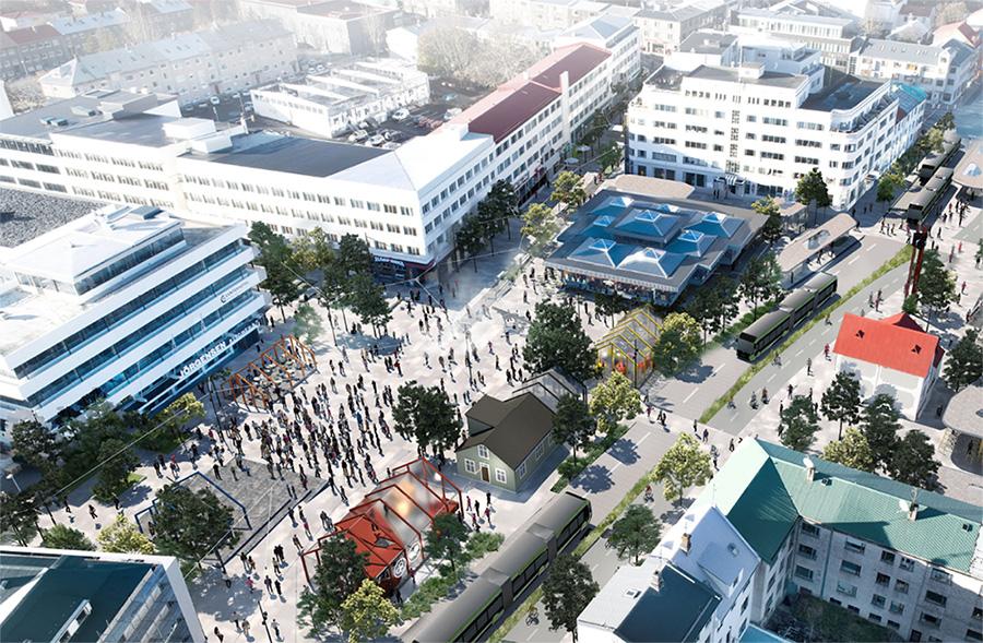
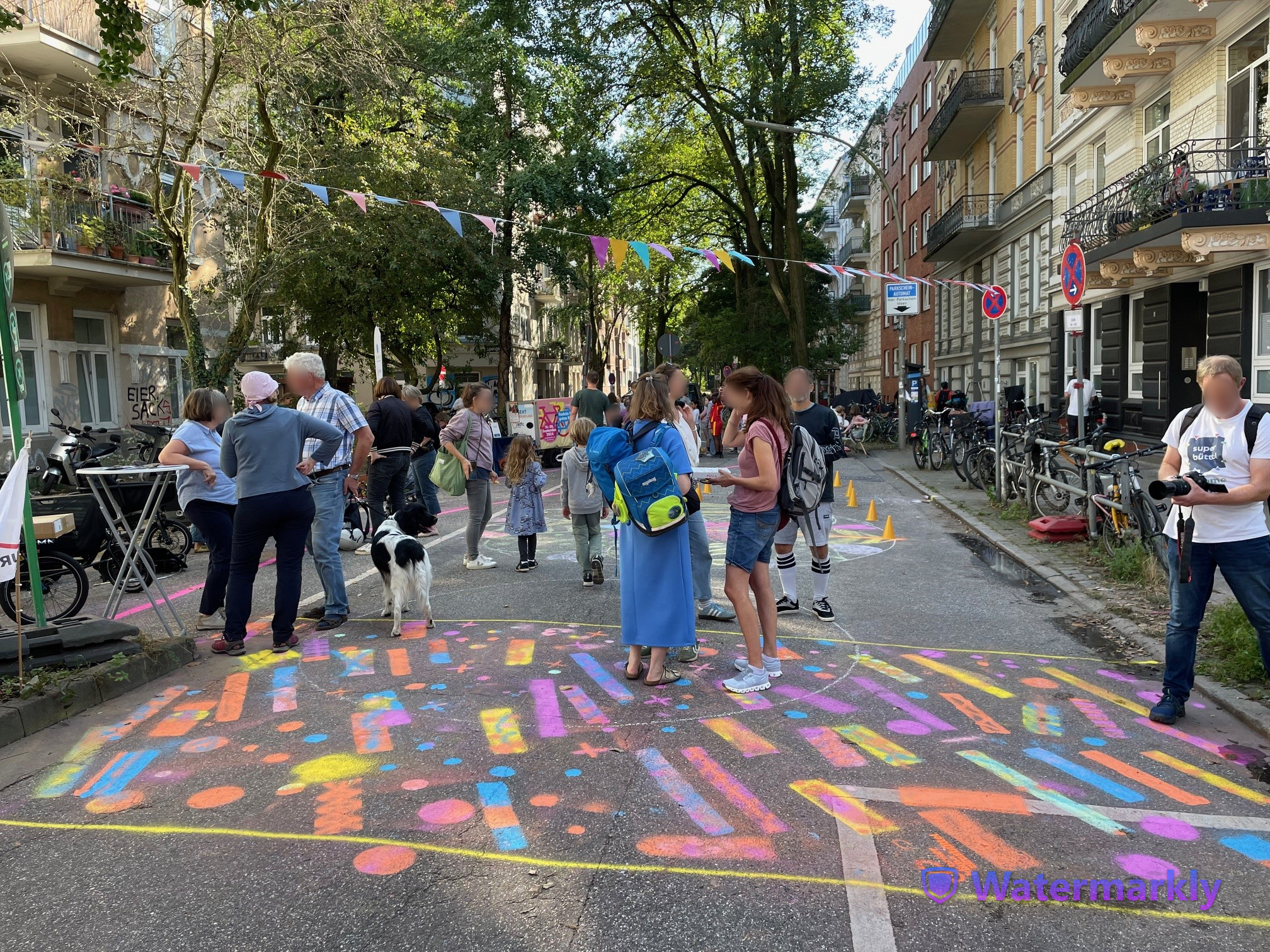
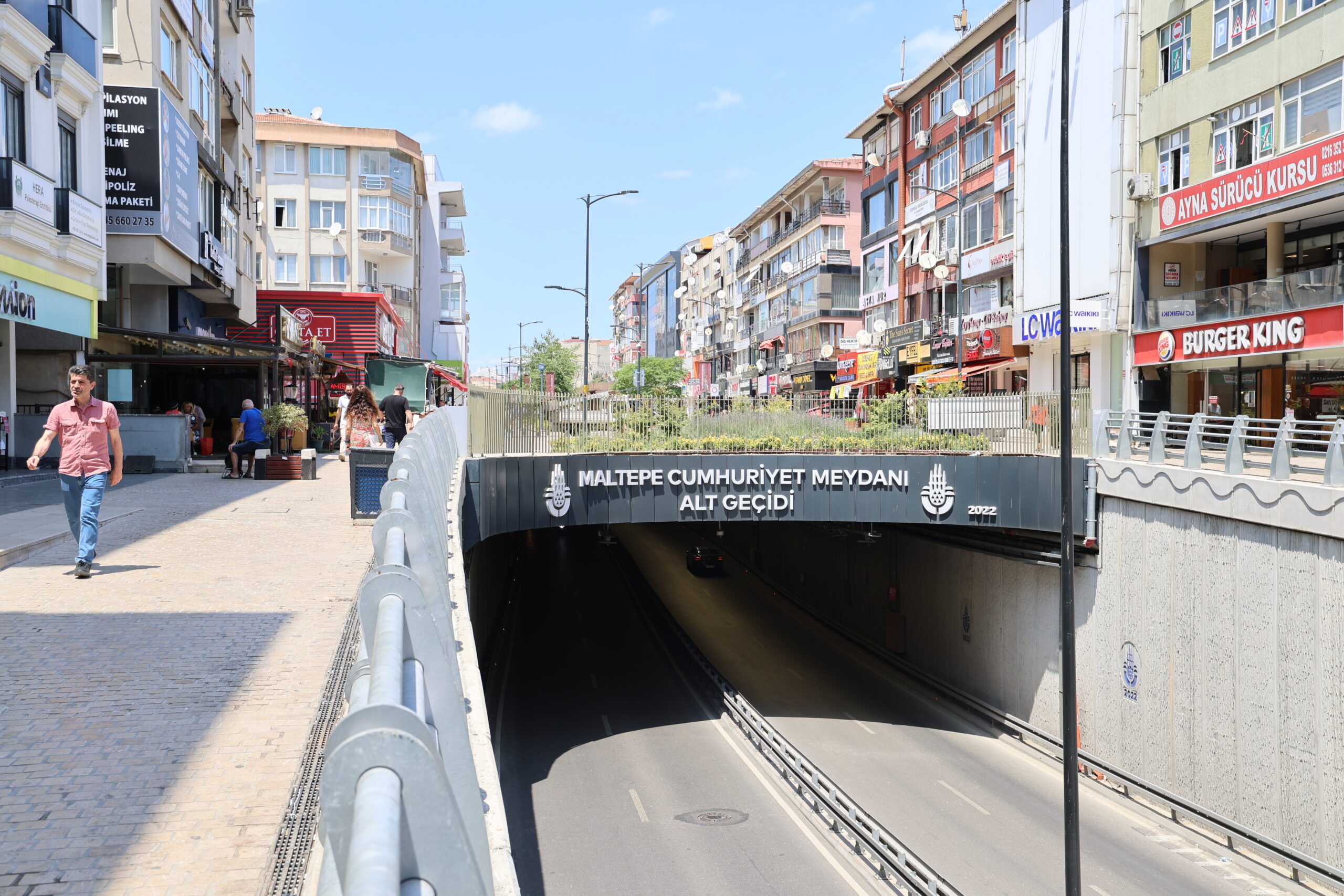
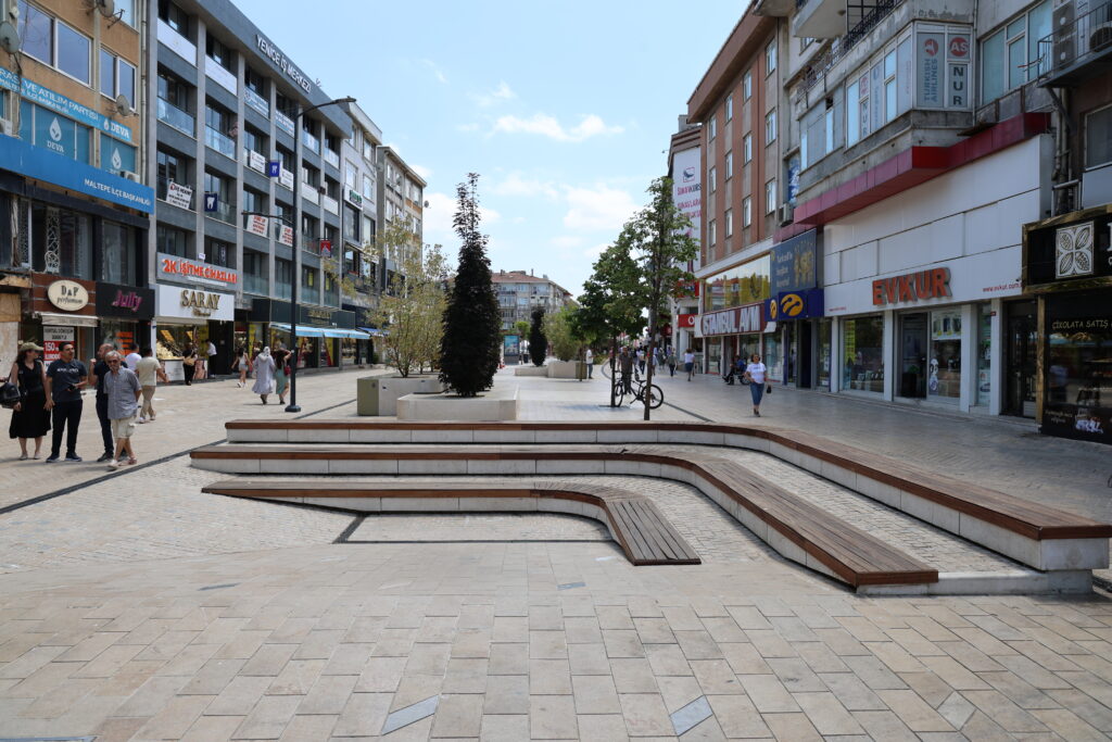
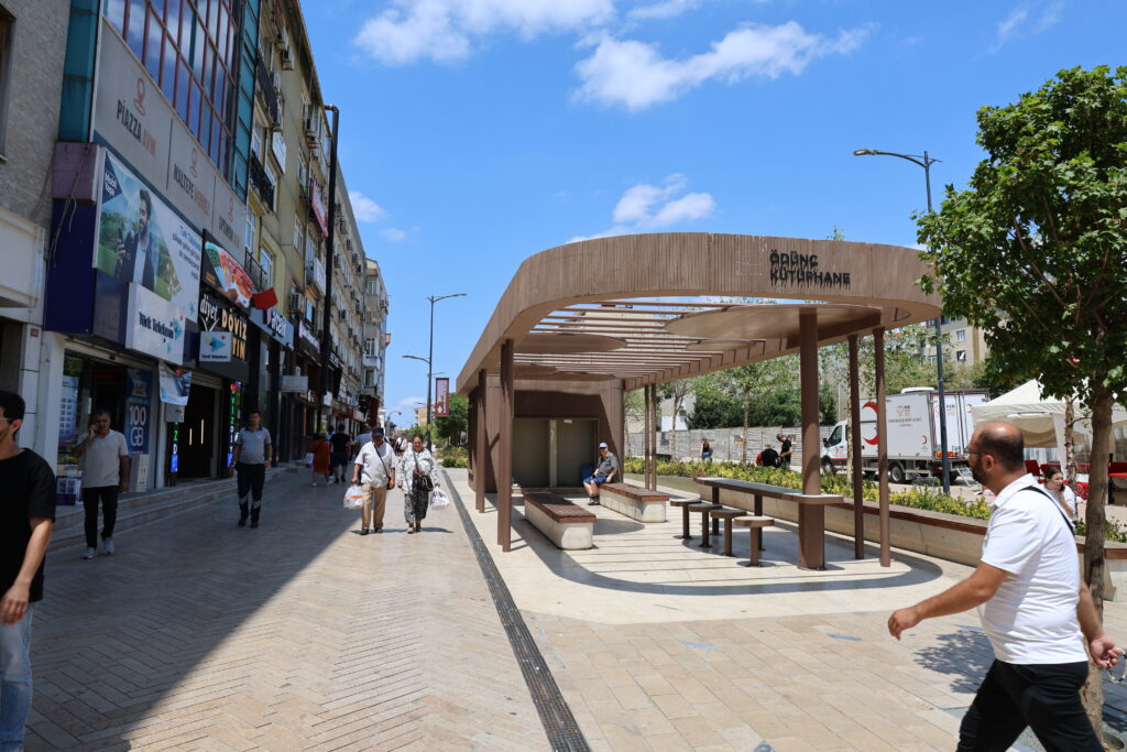
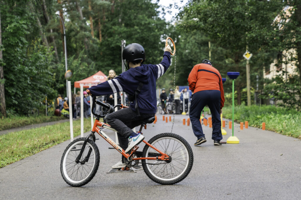
AMIGOS aims to solve specific and localised mobility challenges in the hearth of European cities by targeting ten Safety Improvements Areas some of which are areas within the living labs. Safety Improvement Areas (SIAs) are urban or peri-urban areas which are suffering from mobility-caused safety issues due to the conflict between motorised transport and people on foot and cycling. AMIGOS will develop, pilot and implement mobility solutions with the local people and stakeholders aiming to reduce road safety risks, reducing exposure to air and noise pollution and the perceived feeling of unsafety for pedestrians and cyclists. Some of the SIAs are specific areas of LLs.

Twin cities
Twin cities (TCs) are cities that will implement one or more solutions previously tested by the living labs and safety improvement areas, and thus test their replicability.